IndustryInfrastructure integrity
CAM-396
Seepage cutting a gully down the tailings dam face
A clear morning over the tailings pond. The basin is almost full and the slurry reaches very close to the crest. Water is coming out halfway down the outer face and running down, cutting a gully between soil and stones. At the toe, the drain grate is half blocked, with its sign next to it. A worker walks along the crest beside the yellow railing. IRIS sees the seepage, the erosion and the level against a visible physical reference.

Turn on IRIS Vision
AI-generated image
What IRIS is
IRIS watches the plant for you.
IRIS looks at the cameras you already have on the plant floor and understands what it sees: a stopped line, someone inside a robotic cell, someone without their safety gear on, jammed parts. When something like that happens, it alerts right away; and whatever can be counted, it counts in numbers. All day long, with no one needing to watch the screen.
You tell it what you need to watch, and IRIS does it.
Here, for example, IRIS compares today's picture with yesterday's at the same time: if water shows up where it didn't before, if the gully has grown, or if the mud has risen against the railing, it alerts with both photos side by side. It doesn't judge whether the pond is safe — that's for an engineer to say — but it keeps watch between inspections so nothing goes unnoticed.
Works with the cameras you already have. Nothing to replace.
A person replies, not a form.
- Your footage never leaves your premises.
- It doesn't identify people.
- Certifications →
What IRIS understands
What it recognises in this scene
- water coming out and cutting a gully down the face
- outer face washed out by the water
- drain grate half blocked
- slurry close to the crest
- worker on the crest
What this camera measures
An alert says something is happening. The reading says how much.
- 40 cmFreeboard to the crest
- 3 hTime with water visible
- 2 dTime with the grate blocked
- 1People on the crest
- 24 hSince the compared image
The figures on this screen are an example from the illustration, not any client's measurement.
The rule
You decide once. IRIS applies it always.
If
water appears on the outer face or the level rises against the crest reference
Then
- alert the person on duty with the camera, the time and the point on the face
- save today's image next to the same frame from the day before
- open a report for the geotechnical inspection of the dam
The instruction that set it up«Warn me if water appears on the outer face, if the gully grows or if the slurry gets close to the crest, and show me yesterday's image next to it.»
What changes
What changes for whoever answers for the plant
Here the camera is there to see a change, not to work everything out. IRIS compares today's image with yesterday's at the same hour: if water appears where it did not before, if the gully has grown or if the slurry has risen against the railing, it warns with both pictures side by side. This has to be said plainly: IRIS does NOT assess the stability of the dam. That is geotechnical instrumentation and monitoring, signed off by an engineer. The camera puts eyes between one inspection and the next.
What people usually ask
Does IRIS say whether the tailings dam is stable?
No, and here it is especially important to say so. IRIS sees what can be seen: water coming out of the face, a gully that grows, the slurry level against a physical reference and a blocked grate. The stability of a tailings dam is assessed with geotechnical instrumentation and monitoring — piezometers, inclinometers, pressure cells — and signed off by a qualified engineer. The camera reports a visible change; it replaces neither an instrument reading nor a geotechnical report.
How does a camera measure the level?
Against a physical reference visible in the image: the crest railing, a marker post or a painted staff gauge. The measuring area is set up by drawing it on the image, not by describing it in a sentence, which is why the reading comes out the same every time and can be repeated. It is a reading from an image, not a probe: it sits alongside the dam's instrumented level, it does not replace it.
Does it warn before the dam fails?
No. IRIS does not predict: it reports what is happening now. If there is water today where there was none yesterday, it says so today, with the time and both images side by side. What that change means is decided by the engineer responsible for the dam. A tailings dam failure is prevented with geotechnical monitoring; all the camera achieves is that a visible change does not wait for the next round.
Other cameras
- CAM-380 · A loaded truck leaves by a way that is not a way out
- CAM-381 · Dark material going into the bay for pale aggregate
- CAM-382 · Good ore heading for the waste dump
- CAM-383 · A bucket of grey gravel on top of the wrong stockpile
- CAM-384 · A boulder too big for the crusher mouth going in anyway
- CAM-385 · A tanker loading under the wrong silo
Simulation · how IRIS works
Watch what happens. Then watch what IRIS does with it.
Not a recorded video and not a drawing: it is a summary of the real tool, with a different case each time round. The whole tool does not fit in a box.
- The alert fires
- You open it
- You confirm or dismiss
See it somewhere else

When does a bad review get decided?
15 cases: 11 raise an alert when something happens and 4 only measure. You see each image as it is, and then with what IRIS understands on top.
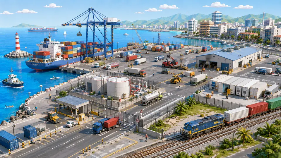
Who is watching a whole quay at three in the morning?
14 cases: 13 raise an alert when something happens and one only measures. You see each image as it is, and then with what IRIS understands on top.


And the best part
Nothing changes on the wall.On the screen, everything changes.
Same brackets, same cabling, same cameras. The only difference is that those images are now understood as they come in, instead of waiting for someone to open them.
Tell us your problem and we will say whether IRIS understands it, or not yet.
We reply the same working day.