What if the map never had to reach the internet?
The map of the world lives inside your server, not someone else's
Almost any system that shows a map is asking an outside provider for it. And every request carries something few people stop to think about: where the operator is looking. IRIS keeps the mapping inside — streets, door numbers, buildings, terrain and addresses for half the world, encrypted on the server — and never calls a third party. The map draws exactly the same with the internet cable unplugged.
What IRIS is
IRIS watches the cameras for you.
IRIS Neural is an artificial intelligence that watches the cameras you already have and understands what happens in front of them. When something important happens —or something you told it you need to keep an eye on—, it alerts you; and whatever can be counted, it counts in numbers. All day long, without anyone having to watch a screen.
You tell it what you need to watch, and IRIS does it.
Works with the cameras you already have. Nothing to replace.
A person replies, not a form.
- Your footage never leaves your premises.
- It doesn't identify people.
- Certifications →
At a glance
What it can do
Mapping that lives in-house
A catalogue of 185 countries, installed and removed one by one on the customer's server. Streets, buildings, door numbers, terrain and almost 145 million addresses, with no call going out.
The map, under lock and key
The mapping is stored encrypted on the server itself, with the key held by the server and kept apart from the data. Copying the disk does not hand over the map: without that key it will not open, not fully and not partly.
Finding a place without going out
City, street, place or door number, forgiving of typos and missing accents. Every result comes with its confidence score and with where the data came from — which is not a detail in a case file.
From a point to a doorway
Click any point on the map and the system returns the nearest postal addresses, with the distance in metres and the margin it declares. In a report that is worth far more than «it happened at number 14».
The operations map
Cameras, incidents, plate reads, floor plans and vehicles on the real ground at the same hour, with live video one click away. And the map goes back in time: recordings and incidents move with it.
Floor plans, storey by storey
Upload the project PDF and twenty storeys come out as separate plans in a single pass. With real scale, north marked and each camera's field of view clipped by the walls: you can see which corridor is left blind.
A shared board over the map
Two people at two sites drawing on the same thing at once, each from their own screen. The guest installs nothing and has no account, and the link carries a PIN, an expiry and its own language; it is revoked in one go when you are done.
Vehicles and assets, live and past
The trail is coloured by speed, drawn zones report every entry and exit, and you sketch an area to ask who went through it. From any point of the route you jump to the video of the nearest camera at that exact moment.
The guest sees what you see
The link can carry your live framing: the guest does not roam on their own, they look exactly where you look. They come in with no login, with a login or with a PIN, with the video call inside if needed, and a revoked link stops working instantly for everyone who had it.
Every address says where it came from
An address from an official register and one from open collaborative mapping are not worth the same in a case file, and the system does not treat them as equal: it says which of the two it came from and with what confidence. Every dataset also keeps its version and its load date.
A site is a perimeter, not a pin
Each site carries its true perimeter — taken from the mapping, drawn by hand, imported or worked out by wrapping its cameras — and from it the system infers which camera belongs to which site. That way a car park camera stops being counted as if it stood in the terminal.
Who gets to see which map
Access is fenced country by country: in an operation spread over several territories, one country's team has no reason to see the neighbour's map. And everything is written down: who placed each camera on the plan and when, who set a perimeter and where it came from.
Why it matters where the map comes from
The map you request tells where you are looking
Almost nobody thinks about it until someone points it out. A system that draws a map is asking an outside service for it, and that request spells out which piece of the world the operator has in front of them, and at what time. For a prison, an electrical substation or a military site, that is information leaving the building without anyone in the organisation having decided it should. IRIS installs the mapping inside: a catalogue of 185 countries added and removed one by one, with almost 145 million addresses already loaded, plus terrain and contour lines. No third party is called to draw the map, to look up an address or to turn a coordinate into a postal address; there is no per-query fee and no remote provider to go down, and everything travels over the same secure port as the rest of IRIS, so the network team has nothing extra to open in order to have maps. It is the question worth putting to any system on the shortlist: where does its map come from, and what does it take with it every time it asks?
The person coordinating does not think in a list of camera names: they think in a place. The roundabout at the entrance, the loading bay, the third floor. The operations map puts everything with a position onto the ground — cameras with their status, incidents with their colour, plates read in the last hour, anchored floor plans and moving vehicles — and from there you open the live view, push a camera to the video wall or ask about it in plain language. When many items sit close together they merge into a bubble with the count inside, and if two are at exactly the same point the system says so and opens the list, instead of leaving the operator zooming in for nothing. It also says how many cameras are missing from the map because nobody gave them a position: that is where «cameras are missing» almost always comes from. And everything can be measured and annotated on top — distances, areas, arrows, labels — the framing is saved so you come back to the same place tomorrow, and several clocks run at once, because a control room watching sites across three time zones needs to see all three.
Mapping solves the street; most of the cameras are inside the building. Upload the plan — PDF, TIFF, JPG or PNG — draw a rectangle around the parts of the document that matter, and a project PDF with twenty storeys turns into twenty separate plans in a single pass. Each plan is calibrated against a known measurement, a door or the façade, and from then on it really measures: the distance between two cameras along a corridor stops being a guess. You mark where north is, and each camera's field of view is clipped by the walls you drew, so the blind corridor shows up on screen before anything is installed. The plan is anchored to the world map and one click takes you inside the building, or you open the plan wall and see the plan alongside sixteen cameras on the same screen, live or in playback. And on either view a situation room goes up in seconds: share a link, the guest opens the map with no account and nothing to install, both draw on the same thing at once, and when it is over the link is revoked and stops working for everyone who had it.
Vehicles and assets come onto the same screen. The trail is coloured by speed, with stopped stretches marked separately; drawn zones report every entry and every exit; and the system records six kinds of driving event on its own, with nobody watching — among them harsh braking, harsh acceleration and harsh cornering — each with its measured value. Sketch an area on the map, pick the period, and it answers who went through there, how many times and at what hour. From a point on the route you jump to the recording of the nearest geolocated camera at that exact moment: the vehicle leads to the video, and the video leads back to the map. On this website each of the nine zones shows an illustration with its markers; this is the same idea, but on real mapping and with the whole installation on top: sites with their true perimeter, plans for every storey, and every measurement attributed to its exact place.
There is a moment in the demo when the room goes quiet: you unplug the network cable in front of the customer and type an address with its door number. It comes up. The search does not compare letter by letter but by likeness, so it copes with typos, missing accents and abbreviations — type «gran bia» and you find Gran Vía — and it ranks results from closest match down. Each one arrives with its street, its number, its postcode, its coordinate, a confidence score to throw out the weak matches and, above all, where the data came from: an address out of an official register is not the same thing as one out of open collaborative mapping, and the system says so instead of levelling them. It works the same way in reverse: click a point and it returns the nearest postal addresses with the distance in metres and the margin it declares, which is the difference between writing «it happened at number 14» and writing «the nearest doorway to the recorded point is number 14, twelve metres away, with a declared margin of ten». And every mapping dataset keeps its source version and its load date, so months later you can answer the awkward question in an investigation: which edition of the street data that address came from, and since when it was in the system.
A hospital or a factory is not thought about on a map: it is thought about on a floor plan. Inside each plan you work in layers, created, hidden and deleted without losing anything — delete a layer and its annotations move to the default one instead of vanishing — and on top of that you leave notes pinned to a point, private to whoever wrote them or global for anyone with access, stored encrypted and never in the clear. Over the stairwell and the lift you draw a clickable area that leads to the next storey, so the building is walked the way it is really walked, up and down, not by hunting a name in a list. Each camera on the plan shows its status, brings up its live image when you hover over it and says so when there is no signal, instead of sitting there as a mute icon. And on the day it matters, all of that is shared: the shift supervisor opens the third-floor plan from another site, marks the way the team will go in, and the stroke appears on the operator's screen while it is being drawn. When it is over the link is revoked and that access disappears, with no account left open behind it.
The figures
Counted, not estimated
- 185mapped countries installed inside your own server
- 144.9Mgeolocated postal addresses, searchable with no internet
- 16cameras next to the floor plan, on the same screen
- 443the only port to open for the map, the floor plans and the video
- 335,288contour lines of the terrain, shipped with the rest of the map
- 14space types, from storey to turnstile, to place every measurement
Questions
Does it really work with no internet connection?
Yes. The mapping is installed on the customer's server, country by country, and stays there: drawing the map, searching an address and turning a coordinate into a postal address are all resolved against that data. The interface says so on screen — «local map, no internet» — so the operator knows what they are working with. No query leaves the site, so nobody outside can infer which area is being watched.
Can I use the building plans I already have?
Yes. PDF, TIFF, JPG and PNG are accepted. In the wizard you draw a rectangle around the parts of the document that matter, and a project PDF with twenty storeys becomes twenty separate plans in a single pass. Folders are organised however each site prefers — country, site, building, storey or anything else — and every plan keeps its real date, which is almost never the day it was uploaded.
Is there a heat map of detections over the territory?
No, and it is better said before the demo than during it. The IRIS heat map is drawn over the camera image, not over the mapping. Density on the ground is obtained today by aggregating over drawn zones, site perimeters and measurement spaces, not as a continuous heat layer on top of the map. It is a real gap, and it is stated here because an integrator will check it in five minutes.
How much space does a map that lives inside take, and how is it updated?
It takes up whatever the installed countries take up, because they are installed and removed one by one: the whole world is never installed, and almost nobody needs it. Of the 185 in the catalogue, a reference installation works with 65. On the administration screen each country shows its size in storage and its install date, so sizing is not a brochure estimate: it is a figure you see before and after. Updating is a data load launched by the administrator, with a job queue stating the type, the status, the progress, the current step and the error if something fails. There is no automatic trickle from the internet, because there is no internet: the map changes when someone in the building decides it should, and every dataset keeps its version and its load date so you always know which edition you are working with.
What if a site is brand new or the building is not in the mapping?
It happens constantly and it blocks nothing. The floor plan does not depend on the street data: you upload the project plan, anchor it to the map with one click, and the building exists in the system before it exists in any mapping. A site perimeter accepts five origins — taken from the cartographic reference, drawn by hand, imported from the customer's own file, worked out by wrapping the cameras, or flagged as an orphaned reference when the outline it came from is no longer in the current dataset — and that last label exists precisely so the system says so instead of keeping quiet. Reverse lookup still answers even when the doorway does not exist: it gives the nearest one that does, with its distance in metres. And if the point falls outside the area with terrain data, it says there is no data there rather than inventing an altitude.
What formats does the mapping data come in and go out in?
In whatever the owner of the data already uses, and always as a file: none of this opens a connection to the outside. For road networks there are the three European standards. DATEX II is what public authorities publish the state of the road with. TN-ITS is built for the opposite job: sending only what has changed — a new speed limit, a reversed direction — without shipping the whole map again. And ROSATTE XML is the schema TN-ITS grew out of, which many official catalogues still hand over as it is. Underneath, JSON and XML for everything else: a list of sites, a perimeter, a layer of points. It reads and writes the same formats, so data that comes in can go back out to the system it came from.
The real interface, step by step
You set the rule once. IRIS applies it every time.
You will see a summary of the interface, played step by step and hands-free. Each round starts with another case. The complete tool does not fit in a demo.
- Cameras on the map
- You draw an area
- What passed shows up
See it somewhere else
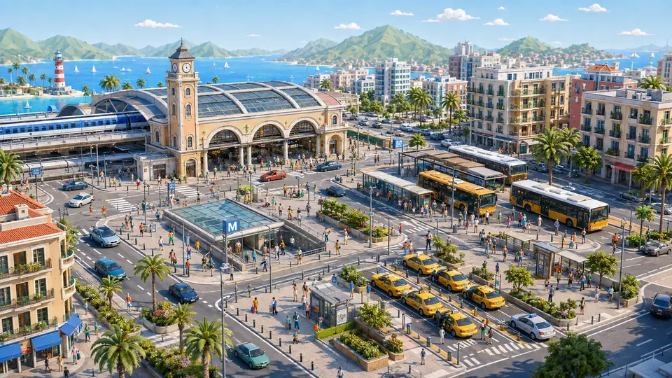
Who watches a whole station at rush hour?
17 cases: 11 raise an alert when something happens and 6 only measure. You see each image as it is, and then with what IRIS understands on top.
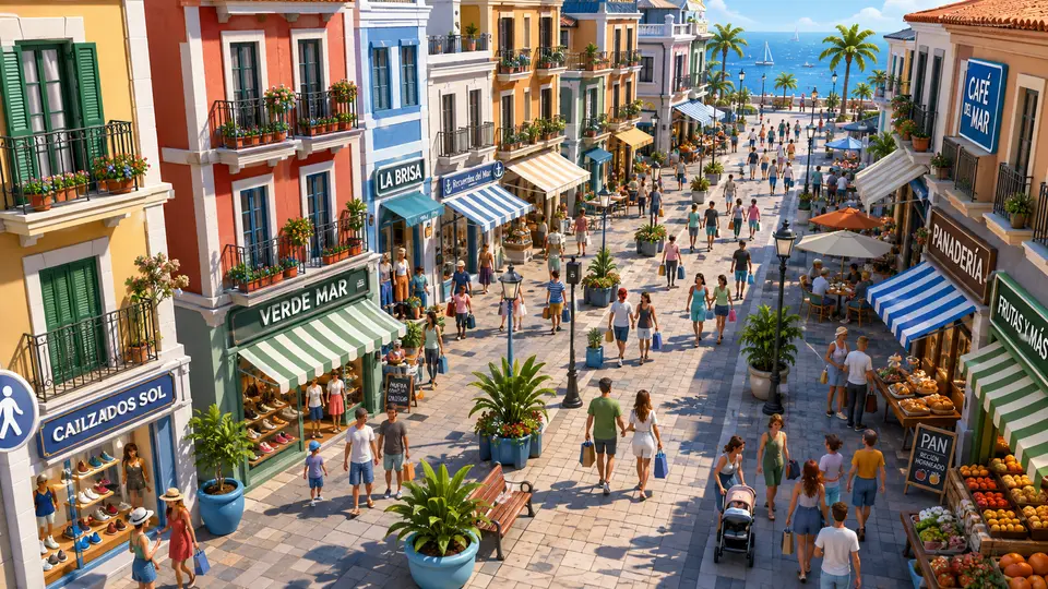
Who sees the sales that never reach the till?
10 cases: 4 raise an alert when something happens and 6 only measure. You see each image as it is, and then with what IRIS understands on top.


And the best part
“The white van, Tuesday afternoon.”That is enough to find it.
You type it the way you would tell a colleague, and the matching minutes come back, each with its camera and its time. You do not need to remember the exact moment.
Tell us your problem and we will say whether IRIS understands it, or not yet.
We reply the same working day.